
US News
Magnitude 7.0 earthquake strikes near Alaska–Canada border
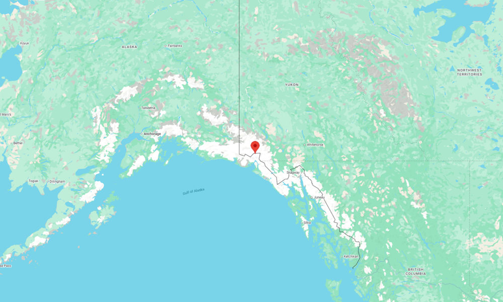
A major magnitude 7.0 earthquake struck near the Alaska–Canada border, according to preliminary reports from the U.S. Geological Survey (USGS). Several aftershocks have been recorded.
The earthquake occurred at 11:41 a.m. local time on Saturday at a depth of 6.2 miles, according to the USGS. Its epicenter was in a remote region about 56 miles north of Yakutat, Alaska, and roughly 154 miles west of Whitehorse in Canada’s Yukon Territory.
Shaking was reported as far away as Anchorage and Juneau, as well as in multiple communities across the Yukon, according to user-submitted reports collected by the USGS. Most accounts described light shaking, and there were no reports of strong shaking near the sparsely populated epicentral area.
“I’m in Anchorage and felt a very slight swaying,” one person wrote in a report to the Euro-Mediterranean Seismological Centre (EMSC). “My hanging plants swung a good couple circles. Crazy! I’m 700 miles away.”
Several moderate aftershocks have followed, including a magnitude 5.6 that struck about five minutes after the main event.
The region along the Alaska–Canada border lies within one of North America’s most active seismic zones, where the Pacific Plate moves northwest against the North American Plate, according to the USGS. Much of this motion is accommodated along the Queen Charlotte–Fairweather fault system, a major boundary capable of producing large earthquakes.


Kansas City shooting spree suspect linked to earlier shooting

DHS says alleged White House UFC plot ringleader is Mexican national

Hot air balloon with 10 on board crashes in Nevada; several injured

Flash flood emergency issued for compromised dam in Mississippi
-

 World1 week ago
Woman dies after being thrown from bridge without bungee cord in Brazil
-

 World7 days ago
Tren de Aragua leader killed in U.S. strike in Venezuela
-

 Legal1 week ago
Arizona man convicted of threatening to kill Trump and Harris
-

 Legal1 week ago
Montana man charged with threatening Hawaii governor and his family
-

 Legal1 week ago
Man kills 4 family members at home in Livonia, Michigan
-

 World5 days ago
Reporter for Iranian state TV says Israeli drone targeted him in Lebanon
-

 Legal3 days ago
2 men charged in separate threats to kill Trump
-
 US News1 week ago
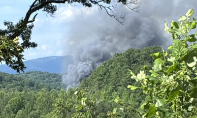
Evacuations ordered after train derailment in rural Tennessee