
World
Magnitude 6.1 earthquake strikes Ecuador–Peru border region
A magnitude 6.1 earthquake struck the Ecuador–Peru border region, causing strong shaking across parts of southern Ecuador and northern Peru, according to officials.
The earthquake occurred at 7:05 p.m. local time on Tuesday at a depth of 83 kilometers (51 miles), Ecuador’s seismological agency reported.
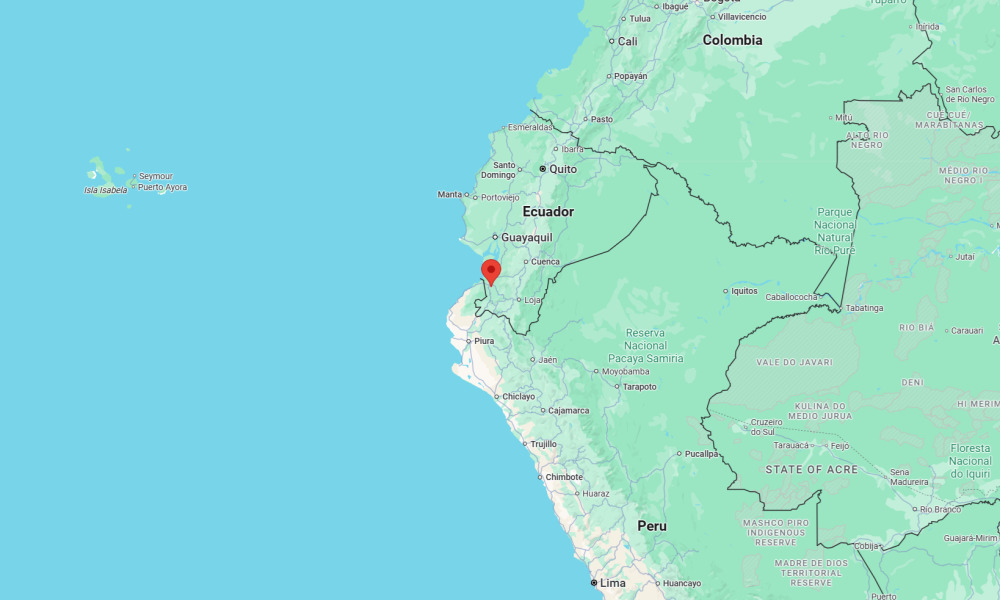
Its epicenter was located in El Oro Province, about 11 kilometers (7 miles) from Arenillas and 36 kilometers (23 miles) from the city of Machala.
Residents near the epicenter reported intense and prolonged shaking, with tremors felt as far away as Ecuador’s largest city, Guayaquil, and across parts of northern Peru.
“Horrible. I thought the house was going to fall down,” one resident wrote on X.
Ecuador is one of the most seismically active countries in South America due to its location along the boundary of the Nazca and South American tectonic plates, where the Nazca Plate is subducting beneath the continent. This process regularly generates moderate to strong earthquakes.
In April 16, 2016, a magnitude 7.8 earthquake near Muisne in Esmeraldas Province killed nearly 700 people, injured thousands, and caused widespread damage in the cities of Manta, Portoviejo, and Pedernales.


Python and Machine Learning: Why the Two Skills Are Increasingly Inseparable

How Reputation Data Is Reshaping Competitive Advantage in Local Service Economies

What Major Cyberattacks Teach Everyday Users About Online Privacy

The True Cost of Cheap Work Boots and Why Quality Pays Off
-

 World3 days ago
5 injured in suspected anti-Muslim attacks in Scotland’s capital
-

 Business3 days ago
Ubisoft co-founder Claude Guillemot killed in France plane crash
-

 World1 week ago
Reporter for Iranian state TV says Israeli drone targeted him in Lebanon
-

 Legal6 days ago
2 men charged in separate threats to kill Trump
-

 US News5 days ago
Hot air balloon with 10 on board crashes in Nevada; several injured
-

 World1 week ago
Historic Kyiv monastery hit during Russian attack
-

 Legal1 week ago
Death penalty possible in White House National Guard shooting case
-

 Legal1 day ago
6 killed in New York motel fire; man arrested on arson charges