
World
Magnitude 6.3 earthquake strikes Indonesia
A magnitude 6.3 earthquake struck Indonesia, with more than 2 million people estimated to have felt the shaking, according to seismologists. No casualties or damage are expected.
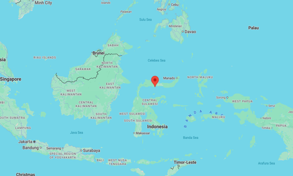
The earthquake occurred at 4:50 a.m. local time on Thursday and was centered in Indonesia’s North Sulawesi Province, according to the U.S. Geological Survey (USGS). It struck at a depth of 90 miles (147 kilometers) below the surface.
The epicenter was located approximately 70 miles (109 kilometers) west of the city of Gorontalo and about 179 miles (179 km) east of Palu City in Central Sulawesi Province.
According to the USGS impact assessment, more than 2 million people may have experienced light shaking, while nearly half a million felt weak shaking. The assessment indicated a low likelihood of casualties or significant economic losses.
The region where the earthquake occurred lies along a highly complex boundary between the Australian and Pacific tectonic plates. In this part of Indonesia, these massive plates interact through a combination of subduction, collision, and lateral motion, which generates frequent seismic activity.
In 2018, a magnitude 7.5 earthquake struck near the city of Palu, not far from this region, killing more than 4,300 people. The disaster triggered a localized tsunami with waves up to 23 feet (7 m) high, which devastated large parts of the city.


At least 10 inmates die from tuberculosis at prison in coastal Ecuador

Trump says he will meet with Zohran Mamdani at the Oval Office on Friday

Trump says he has signed bill requiring release of Jeffrey Epstein files

Florida congresswoman charged with stealing FEMA funds for campaign
-

 Legal2 days ago
Michigan man JD Vance sentenced to 2 years for threatening Trump and JD Vance
-

 Politics4 days ago
U.S. to designate Maduro-linked Cartel de los Soles as terrorist organization
-

 World7 days ago
U.S. begins Operation Southern Spear against “narco-terrorists” in the Western Hemisphere
-

 Health3 days ago
Cambodia reports fatal H5N1 bird flu case in 22-year-old man
-

 Legal7 days ago
Improvised explosive device detonates outside Las Vegas restaurant; no injuries
-

 World1 week ago
Nationwide power outage hits Dominican Republic
-

 Politics3 days ago
Epstein survivors release PSA calling on Congress to release all files
-

 Legal12 hours ago
Woman in critical condition after being set on fire on Chicago train